Open year round, 8 AM to Dusk
(732) 842-4000 Website Google Maps Brochure Trail Map (GR Series)
Gravitas: ![]() Hiking:
Hiking: ![]() MTB:
MTB: ![]() Proximity:
Proximity:![]()
 There are something like 14 miles of trails and roads on this 800-acre Monmouth County Park. The most challenging combines a trail that winds its way around Rocky Point, and then continues as the “Grand Tour” looping through the “Monmouth Hills” and the Cuesta Ridge: over 5 miles if you do the whole thing. Elevations shift from sea level to about 225 feet, which isn’t a huge range, but the trail meanders up and down, making the cumulative elevation gain much more than that. There are several places where you can cut the trip short if the hike starts to feel too long.
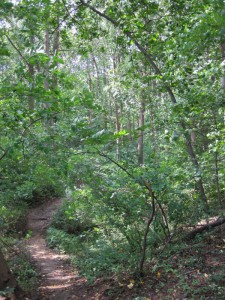
The woodscapes are at times breathtaking: mature deciduous trees interspersed with mountain laurel. The path itself is hard-packed sand, and well graded, with switchbacks up the steepest bits. This makes footing relatively secure (except in a few eroded spots). The woods seem very different from inland trails; I felt at times transported to Big Sur or perhaps a temperate rain forest in the Cascades. I know of no other location in NJ like it. The fact that you can hop in your car and within 5 minutes be lying on a white sand beach makes it even more compelling.
You share the trail with mountain bikers, but the hilliness of the terrain discourages all but the fittest cyclists, and those that do ride the trail are generally considerate to hikers. There are also a series of paved and hard-packed carriage roads, in addition to the Rocky Point/Grand Tour, so even beginning mountain bikers can enjoy cycling through the park.

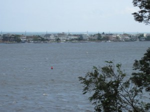
The Navesink River/Sandy Hook estuary which surrounds the park supports major runs of striped bass and bluefish (among other sports species) at certain times of the year. There are several places in the park favored by fishermen.
Hartshorne Woods is named after the original landowner, Richard Hartshorne, an English Quaker who purchased more than 2,300 acres of land in the area from Lenape Indians in 1670 for 11 shillings. The park supported a coastal artillery battery as recently as WWII (you’ll pass a few concrete pill boxes along the trails; roads take you to some of the key sites); and a Nike air defense missile base during the Cold War.
Activities | Birding | Cycling-MT | Fishing | Hiking/Walking | Historic Site | Kids


