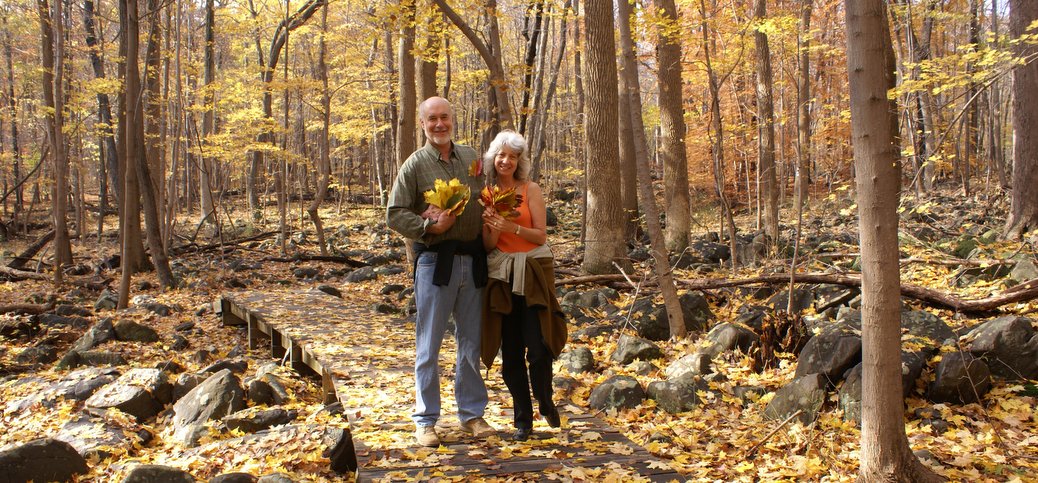
School Daze (Schooley's Mountain Park)
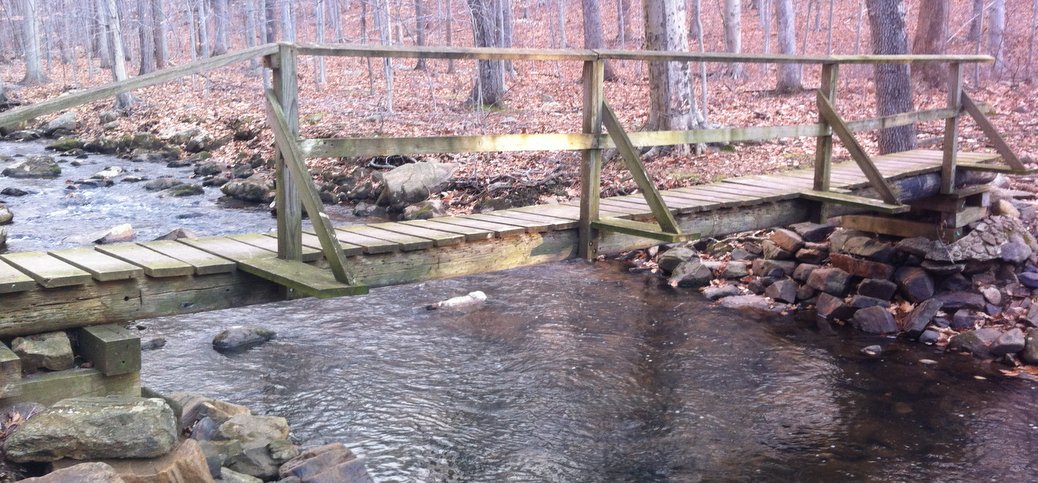
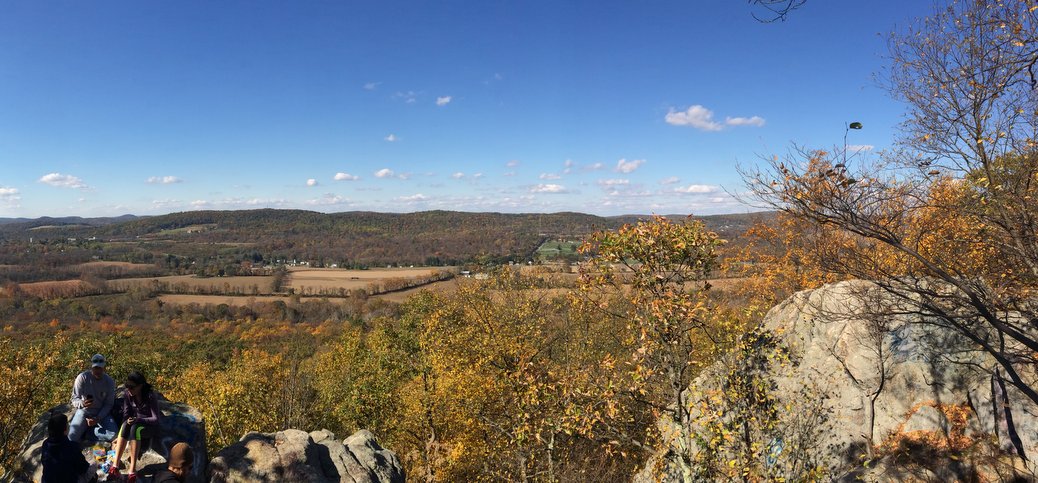
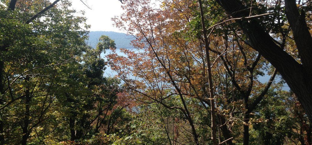
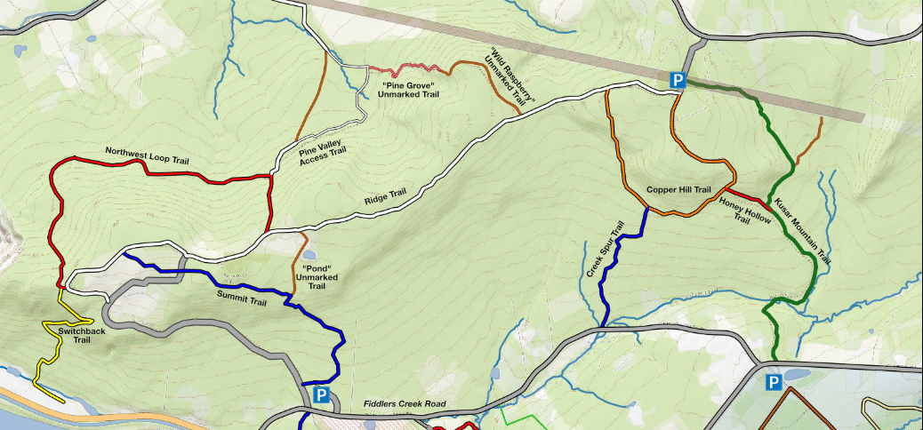
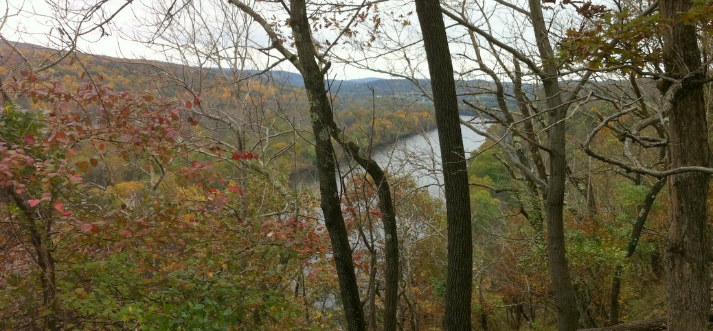
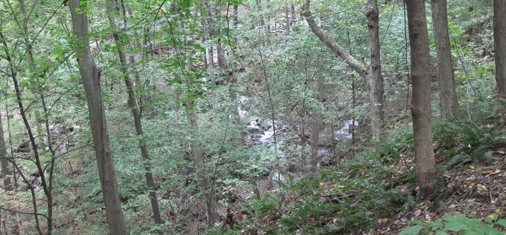
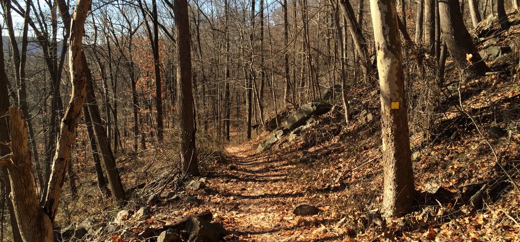
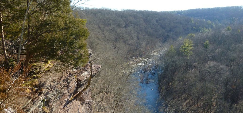
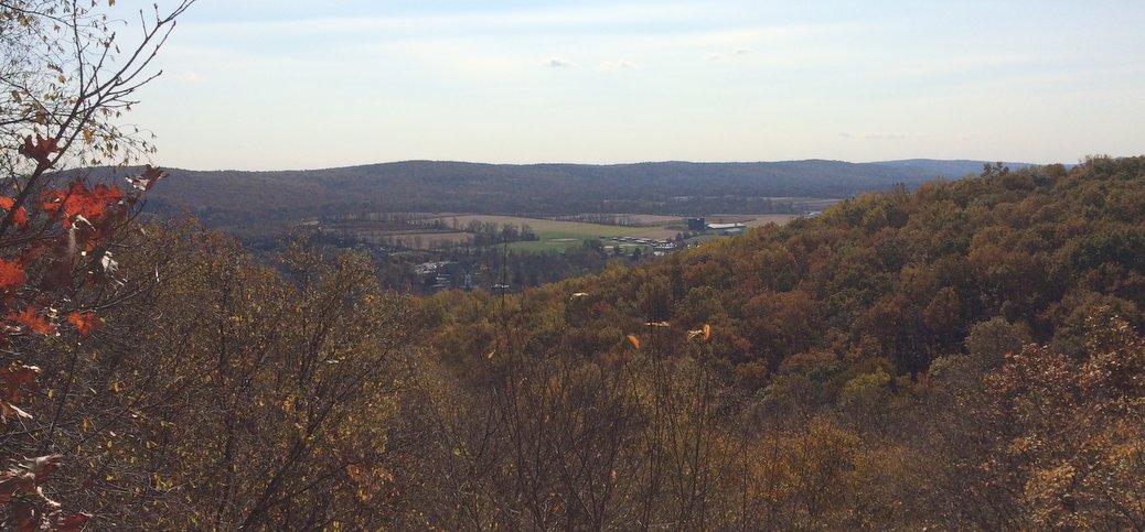
This is a charming hike with views, rock formations, and a cold water stream that tumbles through a steep, bouldery gorge. Here you have the option to park at the bottom (on Fairview Avenue), and walk up 500-700 vertical feet, or park at the top (off Schooley’s Mountain Rd) and eliminate most of the climbing. Experienced hikers can find some challenging trails, while beginners will enjoy the nicely graded and graveled converted woods roads near the top. Both can make their way to the principal viewpoint. (Rated Experienced to Beginner depending on where you go; driving time is 1 hour 20 minutes from downtown. Kids will enjoy the views, the rock formations, and the dramatic Electric Brook).
[Full Review] Ratings: