Open daily, dawn to dusk
(609) 984-1339 Website Google Maps
Gravitas: ![]() Hiking:
Hiking: ![]() Proximity:
Proximity:![]()
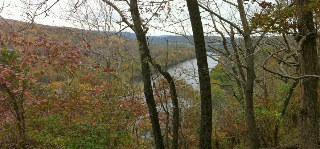
The Thomas F. Breden Preserve, 264 acres on Milford Bluffs, plus 30 acres preserved by the Nature Conservancy, provides a charming, and fairly easy walk to fabulous views of the river. The Preserve is operated by the NJ Natural Land Trust, a state agency charged with preserving land in its natural state for the enjoyment of the public.
OK, so it is about 37 miles from downtown Trenton, but it’s a lovely, relaxing drive up the Delaware. To get there, take 29 North to Frenchtown, and then continue north on the Milford-Frenchtown Rd (CR 619). You’ll hit a traffic light when you get into Milford, which is the critical landmark. Bear right to continue north on CR 519 (Water Rd). Exactly 1.25 miles from the light, you’ll see a gravel road on your left (crossing Spring Mill Brook). That’s the entrance to the preserve, marked only by a small sign that you won’t see until you make the turn.
Drive a couple of hundred yards up the road, to the parking area on your left.
So, why bother to drive so far? Well, if you haven’t explored spots closer to home, I wouldn’t bother. Baldpate Mountain is much closer and provides better and more varied hiking trails. Goat Hill is also much closer, and has better views.
On the other hand, the Breden Preserve has beautiful views of the Delaware, and is a lovely change. Combine it with lunch out in Lambertville, Stockton, or Frenchtown (3 old-fashioned town you’ll pass on the drive up), or pack a picnic lunch, and you’ve got a wonderful half-day excursion on a weekend.
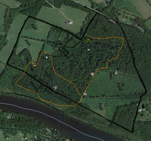
The walk itself is NOT hard. The steepest bit is right from the parking lot up to the “old field”, which gains about 200 vertical feet. If you do the “main loop”, you’ll lose and regain another 150 feet or so as you climb up a streambed to another set of open meadows near the NW corner of the property. The walk as marked in orange (in the image below) is about 2 miles. If you explore some of the side trails, or explore the bluffs behind the “old field”, you can add another mile or two. The trails themselves are old woods roads or fringes of pastures, and make for reasonably secure walking. When I visited, these were all fairly recently mowed, though none of the trails are marked, per se. There are a few places where the trail is eroded, and you have to worry about tripping over sticks and/or brushing past brambles, but it’s not particularly difficult. The bluffs themselves are quite steep, though you never feel “exposed” from the trail itself (if you wander off the trail towards the river, the slope can get hairy, so keep track of your kids).
If you click on the image, you can see a higher resolution view of this sketch map overlaid in Google Earth. You can download the sketchmap from here.
A couple of other notes… you’ll actually be walking out of the Breden Preserve and onto Nature Conservancy land when you walk along the bluffs. Much of the preserve seems suitable for back country skiing, especially around the “old field” and along the ridge above the bluffs.


