Best time to ride is during the week, in the middle of the day, or weekends.
(732) 842-4000 Google Maps Ride Map
Gravitas: ![]() RDB:
RDB: ![]() Proximity:
Proximity:![]()
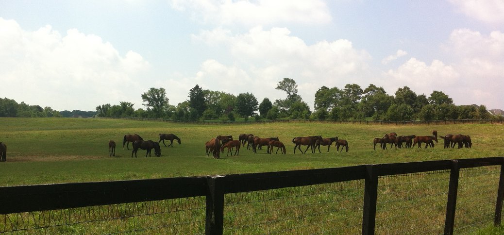
This is a 19 mile cycling route through rolling horse country which is about as good as it gets. The start is a short car ride away: only 25 minutes from downtown Trenton out Rt. 195. If you’re an experienced cyclist, it’s the sort of ride that’s perfect to do fast. The pavement is great, there’s almost no traffic, and there are just enough hills to keep it interesting, but none so steep as to take you out of your rhythm. For inexperienced cyclists, the rolling hills will be somewhat challenging, but not exhausting. For everyone, the expansive views of open pastures and cornfields are jaw-droppingly gorgeous. There’s very little sprawl evident on this ride, which is remarkable for something so readily accessible from Trenton.
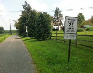
The ride starts and stops at the Clayton Park parking lot. It’s convenient, and offers a porta-potty. Be warned that almost none of these roads provide shoulders; however, the traffic density is generally so low that they’re not needed… figure one car every 5 minutes or so. Just use your common sense, and keep an ear out for cars. It’s almost all local drivers who are used to cyclists and reasonably courteous. There’s a two mile stretch along the UTH Trail, which is a hard-pack, fine gravel multi-use trail developed on an old RR bed. This allows you to avoid a stretch of CR 539 which gets HEAVY traffic (it’s a main route to the Pinebarrens). I had no problem riding it on a full-out road bike with 23mm tires, though I can imagine it getting a little soft at some times of the year. Worse case you could ride the stretch on 539 (it does have a shoulder), but that shouldn’t be necessary most of the time.
The PDF ride map marks the route in blue, and is conveniently sized for printing on letter paper. If you click on the Directions link above, you’ll be taken to the same map in Google Maps. You’ll see some additional roads north of the route marked in red. These are marking potential extensions to this route, if you’re looking for a somewhat longer ride. I haven’t fully explored them yet, so it’s possible they may not come up quite to the standards of the core ride marked in blue.


We did half of this ride last Saturday (April 18) and it was just gorgeous. There was so little traffic on the roads. I was amazed. Just an FYI – Jonathan Holmes Road is closed – part of the bridge over a creek collapsed in Nov. 2014 (according to the Monmouth Cty website). It is possible to lift ones bike over the Jersey barriers that block the bridge on one end and walk them through on the other side to continue the ride as shown on the map.